The Technology Beneath
the Intelligence
SkyBridge MEBA combines aerial systems, satellite observation, geospatial technologies, sensors, analytics and digital platforms into integrated intelligence architectures designed around real-world decision requirements.
SENSOR → DATA → ANALYSIS → INTELLIGENCE → DECISION SUPPORT
One Intelligence Stack.
Multiple Technologies.
DATA ACQUISITION LAYER
GEOSPATIAL & DATA LAYER
ANALYTICS LAYER
INTELLIGENCE PRODUCTS
DECISION SUPPORT
MONITORING & RE-OBSERVATION
“SkyBridge selects the appropriate technology mix around the intelligence requirement.”
Mission-Led
Aircraft Selection
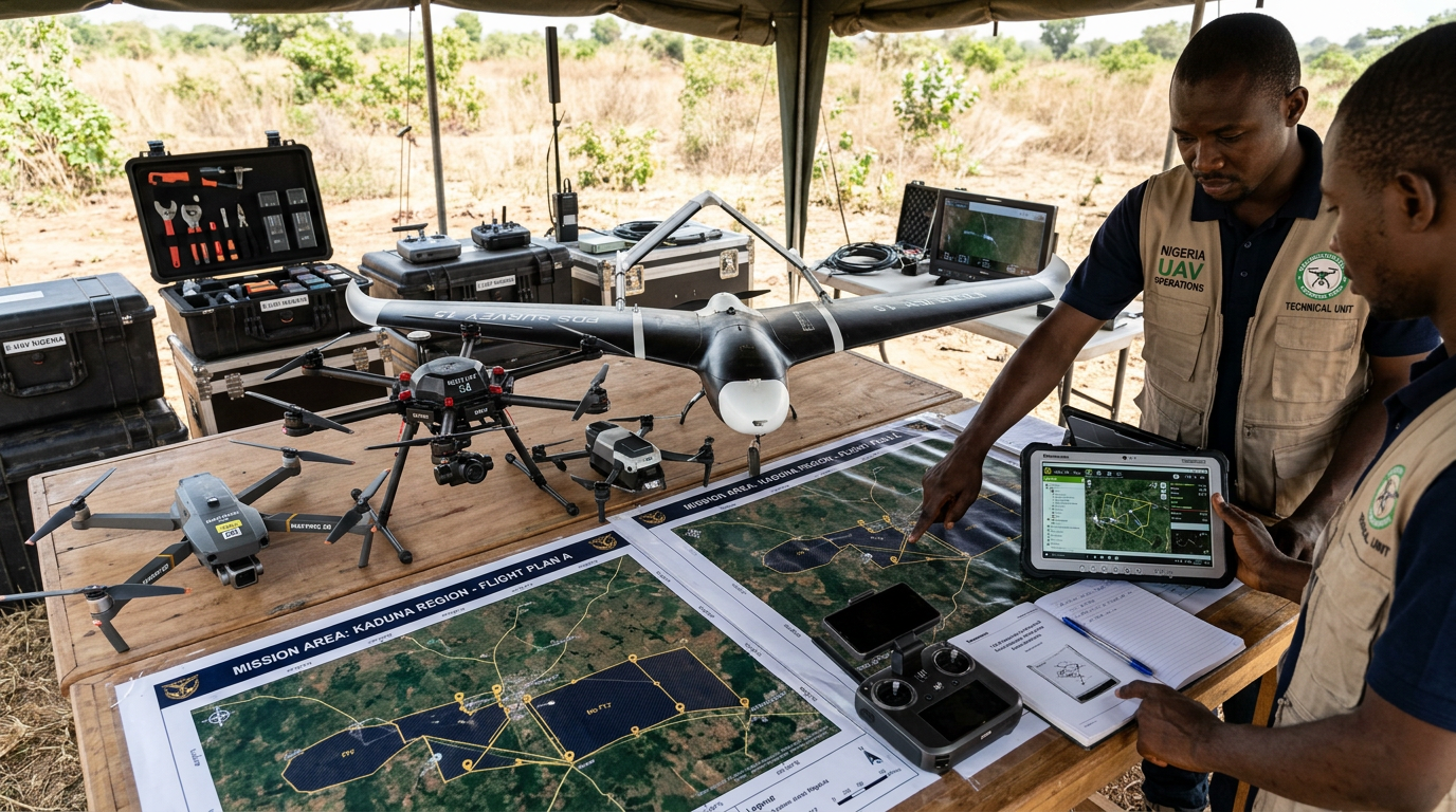
SkyBridge MEBA does not treat one aircraft as suitable for every mission. Platform selection depends on a range of operational, regulatory and technical factors that define what each mission actually requires.
“THE MISSION DEFINES THE PLATFORM.”
References to specific platforms include those under consideration, potentially accessible through partners, planned for future procurement, or specialist systems. References do not imply current ownership unless stated.
DJI Matrice 4E
Compact Enterprise Geospatial Platform
The DJI Matrice 4E is a compact enterprise unmanned aircraft designed particularly for geospatial applications such as surveying, mapping, construction observation and selected asset-intelligence missions.
4/3-inch CMOS Wide Camera
20 MP primary mapping camera
Adjustable Aperture
Mechanical shutter, medium-tele & telephoto cameras
RTK Capability
Centimetre-level positioning accuracy
~49 min Max Flight Time
Under specified reference conditions
0.5s Min Photo Interval
High-efficiency mapping coverage
Omnidirectional Sensing
Binocular vision + downward 3D infrared
Manufacturer-stated specifications under defined test conditions. Operational performance may vary depending on environment, payload and flight profile.
A Practical Geospatial Workhorse
Potential relevance to SkyBridge operations across geospatial intelligence and asset monitoring.
“The Matrice 4E is one component of a wider fleet strategy, not the entire SkyBridge technology proposition.”
Enterprise Platforms for
More Complex Missions
Larger enterprise platforms may be required where missions demand capabilities beyond compact aircraft. Platforms such as the DJI Matrice 350 RTK class may be considered where mission requirements, procurement pathways and regulatory frameworks permit.
Final platform selection depends on mission requirements, procurement, partner access, regulation and economics. References to specific platforms do not imply current ownership.
Thermal & Condition
Intelligence
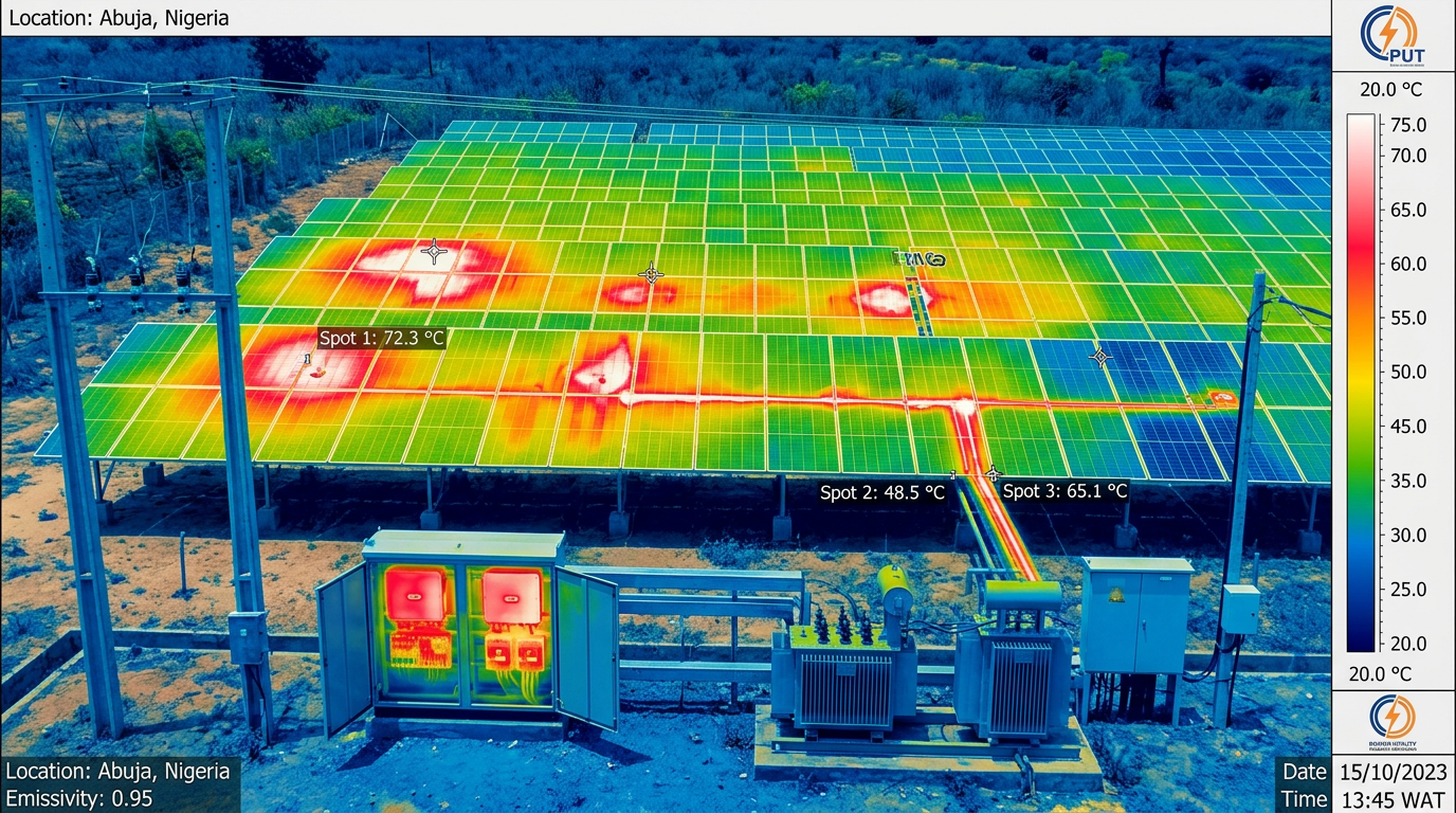
Thermal sensing may support appropriate inspection workflows by identifying abnormal heat patterns requiring closer technical investigation.
Thermal anomalies require competent technical interpretation and should not automatically be treated as confirmed equipment failure.
LiDAR & High-Density
Spatial Data
LiDAR can provide detailed three-dimensional spatial data in missions requiring precision geometry, terrain modelling and structural analysis.
LiDAR deployment status: not currently confirmed as in-house unless verified.
Seeing the
Wider Picture
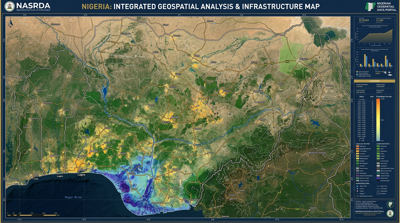
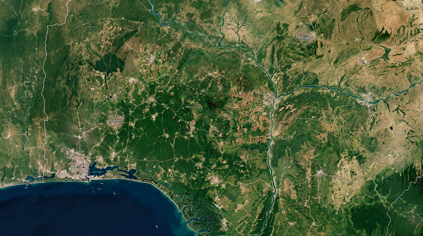
Satellite data can provide broad-area observation where UAV deployment alone would be inefficient. Combining satellite imagery with targeted aerial or field verification creates layered intelligence at different scales.
“Satellite observation provides scale. Targeted aerial or field verification can provide greater local detail.”
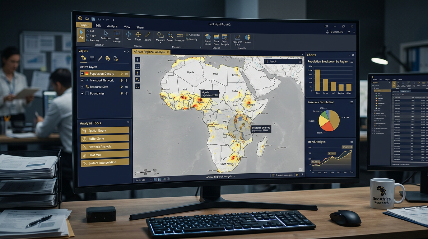
Location Is Part of
the Intelligence
Potential Outputs
Turning Data
into Signal
Excel & Spreadsheets
Data organisation and initial analysis
SQL & Database Querying
Structured data extraction and management
Power BI & Dashboards
Visual analytics and interactive reporting
Data Cleaning
Quality assurance and preparation
KPI & Trend Analysis
Performance tracking and pattern identification
Reporting Automation
Scheduled and template-based outputs
“Tools are selected according to project architecture and data requirements.”
AI as an
Analytical Assistant
SkyBridge intends to use AI-assisted workflows where appropriate to support analytical processes that benefit from pattern recognition, scale and speed.
AI-assisted analysis supports professional judgement. It does not replace responsible human, technical or statutory decision-making.
SkyBridge does not claim proprietary AI models unless independently verified.
Strategic Operational
Intelligence Centre
(SOIC)
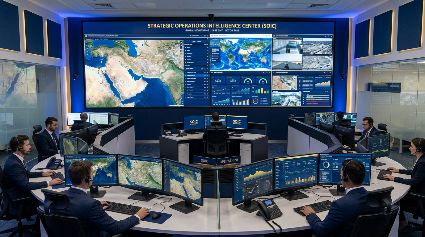
SOIC is a developing SkyBridge concept for integrating geospatial information, project data, environmental intelligence, asset monitoring, dashboards, alerts and analytical workflows into a unified decision-support environment.
SOIC is not described as a fully operational national command centre.
Security
by Design
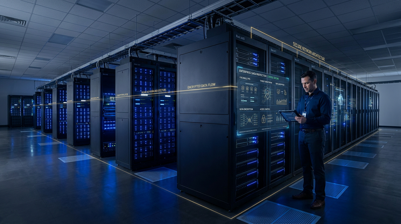
SkyBridge’s intelligence systems may handle sensitive operational, geospatial, project and institutional data. Technology architecture should therefore consider:
“Cybersecurity is treated as a system-design requirement, not an afterthought.”
No certifications are claimed unless independently verified.
Data Must Remain Controlled,
Traceable & Purpose-Bound
“Where Government information is involved, Government information remains Government information, subject to the applicable legal and contractual framework.”
Technology Does Not Remove
Professional Judgement
SkyBridge systems are designed to support the professionals and authorities who bear responsibility for technical interpretation, regulatory compliance and institutional decision-making.
“Technology expands visibility. Professionals interpret meaning. Responsible authorities decide.”
Designed to Work with
Existing Systems
Where technically and contractually appropriate, SkyBridge solutions may integrate with existing institutional and operational systems.
Specific Government-system integrations are not claimed unless verified and approved.
We Do Not Pretend to
Build Everything Alone
Complex intelligence projects may require collaboration with specialist technology, engineering and research organisations.
“SkyBridge’s role is to assemble the right technology and expertise around the intelligence requirement.”
Partner logos are not displayed unless partnerships are formalised and approved.
Build → Validate → Integrate → Scale
Phase 1
Foundation
Core geospatial, UAS and analytics capability
Phase 2
Integration
Integrated dashboards and managed intelligence workflows
Phase 3
Specialisation
Specialist sensing, advanced analytics and deeper automation
Phase 4
Scale
SOIC-scale integrated intelligence environments
Phase 5
Expansion
Advanced autonomous systems and expanded regional capability
Roadmap phases are indicative. Specific timelines are subject to management planning.